Back to Weather

5-day forecast / Denton, TX

SaturdayMostly Sunny95° / 75° 2%
SundaySlight Chance Showers And Thunderstorms95° / 75° 23%
MondayChance Rain Showers then Mostly Sunny95° / 78° 28%
TuesdayPartly Sunny96° / 77° 4%
WednesdayChance Showers And Thunderstorms89° / 73° 57%

Denton Air Quality Alert Issued Amidst Sweltering Weekend Heat - Sep 26, 2 PM

Denton weather, updated every four hours — local forecasts you can trust.

An active Air Quality Alert is in effect for Denton as temperatures remain dangerously high. Current feels-like readings hit 95F, with highs near 95F expected today and tomorrow.

Cody Underwood

September 26, 20262 min read

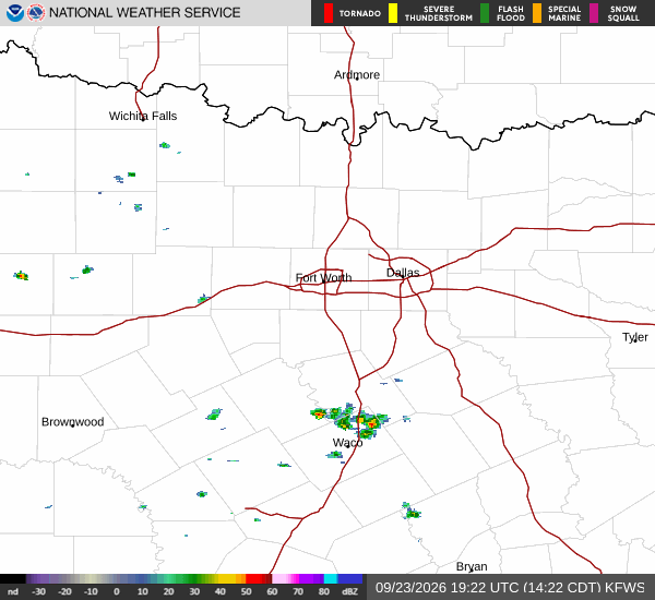
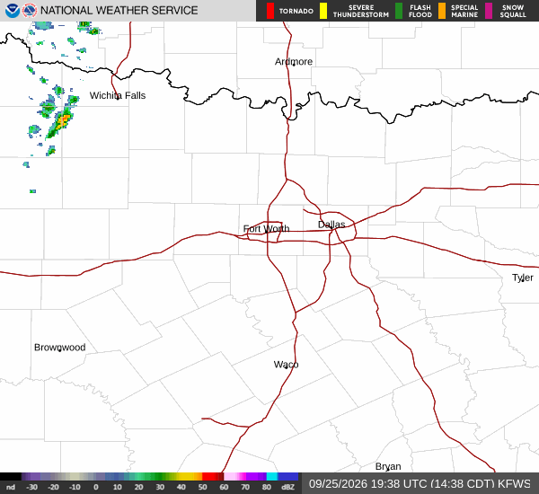
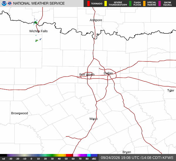
National Weather Service radar for North Texas (KFWS)

*As of Sep 26, 2 PM local time.*

Active Alert and Current Conditions

Denton residents are under an active Air Quality Alert issued by the National Weather Service. This alert is currently in effect alongside persistently hot conditions that make outdoor activity challenging. Right now, the air temperature stands at 93F, but the heat index pushes the feels-like temperature to 95F.

The relative humidity is at 39%, with a dew point of 64F. Winds are blowing from the south southeast at 10 mph, with gusts reaching up to 6 mph. The sky remains clear overhead.

Weekend Forecast Outlook

Today will see mostly sunny skies with a high near 95F. Heat index values are expected to climb as high as 98F during the day. Lows tonight will drop to around 75F, though temperatures may rise slightly to about 77F overnight.

Skies will become partly cloudy, and winds will remain light at 5 to 10 mph from the south southeast. The chance of precipitation is minimal at just 2%.

Tomorrow brings similar heat with a high near 95F. Heat index values could reach as high as 99F. While skies will be mostly sunny, there is a slight chance of showers and thunderstorms after 7am.

The probability of precipitation is listed at 23%, with new rainfall amounts less than a tenth of an inch possible. Winds will continue from the south southeast at 5 to 10 mph. Lows tomorrow night will settle around 75F, with heat index values near 97F.
There is a slight chance of storms before 1am, followed by a chance of showers and thunderstorms later, bringing the precipitation chance to 30%.

Safety Reminders

Given the active air quality alert and extreme heat, residents should take precautions. Stay hydrated and limit time spent outdoors during the hottest parts of the day. Monitor local air quality reports for updates on pollution levels. Those with respiratory sensitivities should consider staying indoors or wearing protective masks if going outside is necessary. Keep an eye on weather updates as conditions can change rapidly.

National Weather Service radar for North Texas (KFWS)

Sources

National Weather Service radar

National Weather Service forecast data

Open-Meteo weather data

Share

Cody Underwood

Cody Underwood covers weather, storms, and seasonal life around Denton.

Related Stories

More in Sport