Back to Weather

5-day forecast / Denton, TX

TuesdayMostly Sunny95° / 78° 1%
WednesdayMostly Cloudy then Chance Showers And Thunderstorms95° / 75° 40%
ThursdayShowers And Thunderstorms79° / 71° 98%
FridayShowers And Thunderstorms Likely80° / 67° 68%
SaturdayShowers And Thunderstorms Likely78° / 66° 67%

Denton Weather: Flood Watch Active Amidst Hot, Humid Conditions - Sep 29, 2 PM

Denton weather, updated every four hours — local forecasts you can trust.

A severe Flood Watch is in effect for Denton. Current temperatures are 90F with a heat index reaching 97F. Expect hot conditions today, followed by a significant chance of storms and heavy rain tomorrow.

Cody Underwood

September 29, 20262 min read

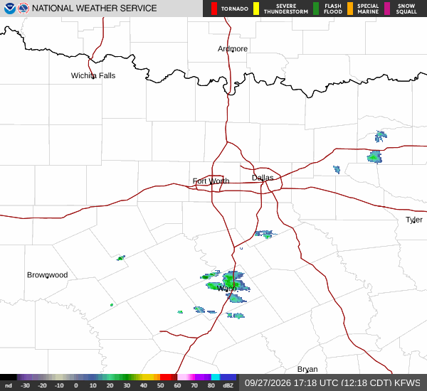
National Weather Service radar for North Texas (KFWS)

*As of Sep 29, 2 PM local time.*

Severe Flood Watch in Effect

Residents in Denton should remain vigilant as a severe Flood Watch is currently active. This alert, issued by the National Weather Service, indicates that conditions are favorable for flooding to occur. While the immediate threat is not currently impacting the area, the potential for severe weather is high.

The watch remains in effect until early tomorrow afternoon. Given the severity of this alert, it is crucial to stay informed and prepared for any sudden changes in weather patterns.

Current Conditions and Today's Outlook

It is currently Tuesday afternoon in Denton. The air temperature stands at 90 degrees Fahrenheit, with a feels-like temperature of 92 degrees. Relative humidity is at 46%, and the dew point is 66 degrees.

Winds are blowing from the south southeast at 14 mph, with gusts reaching 22 mph. The sky is partly cloudy. For the rest of today, expect mostly sunny skies with a high near 93 degrees.

The heat index values may reach as high as 97 degrees. Winds will continue from the south southeast at 10 to 15 mph, with gusts potentially reaching 30 mph. The chance of precipitation is minimal, at just 1%.

Tonight and Tomorrow's Forecast

Tonight, skies will be partly cloudy with a low around 77 degrees. Winds will remain from the south southeast at 10 to 15 mph, with gusts up to 25 mph. Tomorrow brings a shift in weather patterns.
A chance of showers and thunderstorms is expected after 1 pm. Skies will be partly sunny with a high near 94 degrees. Heat index values could reach 102 degrees.

Winds will be around 15 mph from the south southeast, with gusts as high as 35 mph. The chance of precipitation is 40%, with new rainfall amounts less than a tenth of an inch possible. Tomorrow night, showers and thunderstorms are likely, with a 90% chance of precipitation.

Rainfall amounts between 1 and 2 inches are possible. Temperatures will drop to around 74 degrees, rising to 76 degrees overnight. Winds will be around 15 mph with gusts up to 30 mph.

Given the potential for heavy rain and flooding, it is advisable to stay indoors and monitor local news for updates.

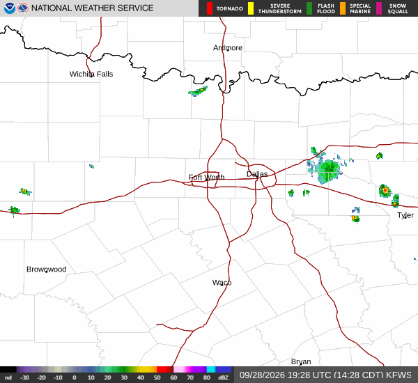
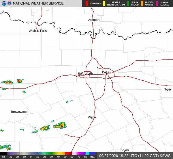
National Weather Service radar for North Texas (KFWS)

Sources

National Weather Service radar

National Weather Service forecast data

Open-Meteo weather data

Share

Cody Underwood

Cody Underwood covers weather, storms, and seasonal life around Denton.

Related Stories

More in Sport

Shrader’s Late Kick Lifts Colts Past Texans 19-17

Spencer Shrader nailed three field goals, including a 53-yarder with seconds remaining, to secure a 19-17 victory for the Indianapolis Colts over the Houston Texans at Lucas Oil Stadium.

Coralie OakleySeptember 29, 20262 min read