*As of Oct 2, 2 PM local time.*
Severe Flood Watch and Humid Conditions
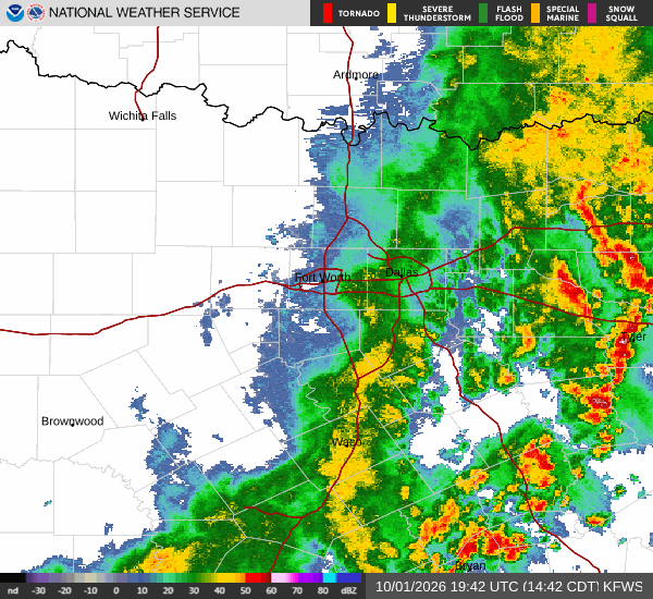
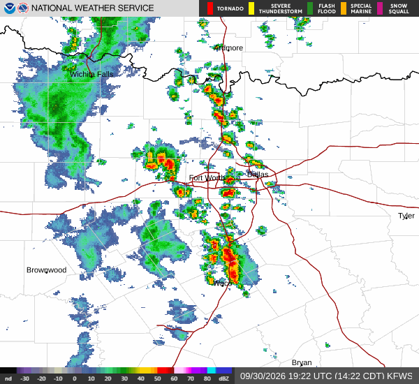
A severe Flood Watch is currently active for the Denton area, signaling a heightened risk of flooding due to expected rainfall. This urgent alert underscores the need for residents to stay informed and prepared for potential water accumulation. The atmosphere is notably muggy right now, with a dew point of 70F and relative humidity at 74%.
These factors combine to make the air feel heavier than the actual air temperature of 79F, which currently feels like 80F. Winds are blowing from the north northeast at 8 mph, with gusts reaching 16 mph, under a cloudy sky.
Today and Tonight Outlook
Showers and thunderstorms are likely to persist throughout the day. The high temperature will hover near 78F, while the low is expected to be around 68F. There is a 57% chance of precipitation, with new rainfall amounts potentially reaching less than a tenth of an inch.
As night falls, conditions will remain cloudy with a low around 68F, though temperatures may rise slightly to around 71F. The chance of precipitation remains high at 60%, and rainfall amounts could increase to between a quarter and half of an inch. Winds will shift to 5-10 mph with gusts up to 25 mph.